Public transport network maps
Maps of all the public transport routes by region.
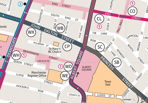
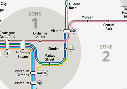
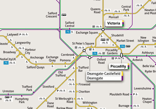
City centre
free bus routes, train stations, tram stops, bus stops and cycle hubs.
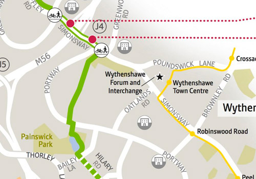
Cycling maps
Maps of cycle routes and paths across each of the GM boroughs.
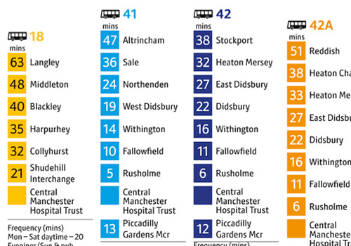
Getting to hospital by public transport
Public transport options by hospital with estimated travel time.
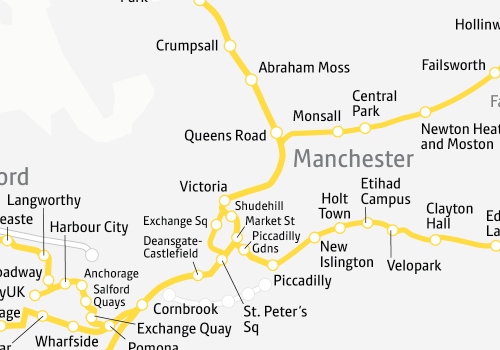
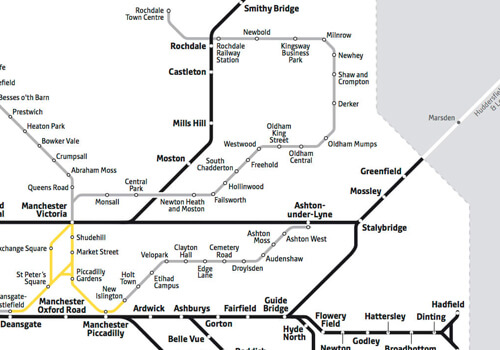
Metrolink geographical map
See the Metrolink network geographically mapped out across Greater Manchester.
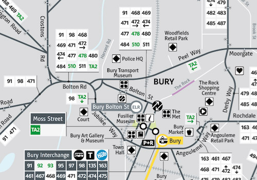
Bus route maps
A map of a bus route can be found by searching for the bus route number and clicking on "map view". This will display all the bus stops along the route.
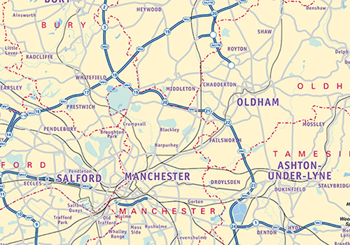
Greater Manchester bus boundary map
A map showing the boundary of Greater Manchester for bus services.
Wayfarer bus map
A map of where you can go via bus if you are using a Wayfarer ticket to travel. For more information about Wayfarer tickets, you can visit our Wayfarer pages.
Wayfarer train and tram map
A map of where you can go via train or tram if you are using a Wayfarer ticket to travel. For more information about Wayfarer tickets, you can visit our Wayfarer pages.
-
 Learn more about getting to Co-op Live
Travel included with Co-op Live tickets
Co-op Live ticket holders can travel on the tram and new city centre shuttle buses.
-
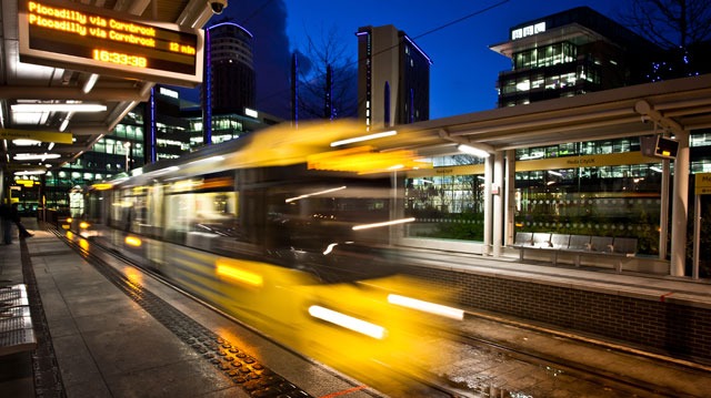
 Learn more about the Bee Network
Say yellow to the Bee Network
Buses in Oldham, Rochdale and parts of Bury, Salford and north Manchester joined the Bee Network on 24 March.
-
 Learn more about new Starling Bank Bikes
New sponsor: Starling Bank Bikes
We’re delighted to welcome Starling Bank on board as the new sponsors of our bike hire scheme.
-
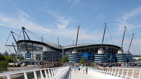 Find full details of the bus routes, ticket fares and timetables
Manchester City Matchday Buses
We've teamed up with Manchester City to launch a large-scale bus trial helping fans from across Greater Manchester and nearby areas to travel to and from the Etihad Stadium on a matchday.
-
 Rate your journey
Rate your journey
We want to hear your views to help us deliver a better Bee Network for Greater Manchester.
-
 Find out about planned works on the tram
Planned engineering works on Metrolink
Visit our dedicated webpage to find out how the works could affect your journeys.


-
Learn more about getting to Co-op Live
Travel included with Co-op Live tickets
Co-op Live ticket holders can travel on the tram and new city centre shuttle buses.
-
Learn more about new Starling Bank Bikes
New sponsor: Starling Bank Bikes
We’re delighted to welcome Starling Bank on board as the new sponsors of our bike hire scheme.
-
Rate your journey
Rate your journey
We want to hear your views to help us deliver a better Bee Network for Greater Manchester.
-
Learn more about the Bee Network
Say yellow to the Bee Network
Buses in Oldham, Rochdale and parts of Bury, Salford and north Manchester joined the Bee Network on 24 March.
-
Find full details of the bus routes, ticket fares and timetables
Manchester City Matchday Buses
We've teamed up with Manchester City to launch a large-scale bus trial helping fans from across Greater Manchester and nearby areas to travel to and from the Etihad Stadium on a matchday.
-
Find out about planned works on the tram
Planned engineering works on Metrolink
Visit our dedicated webpage to find out how the works could affect your journeys.